
 EN
EN
 ar
ar bg
bg hr
hr cs
cs da
da nl
nl fi
fi fr
fr de
de el
el hi
hi it
it ko
ko no
no pl
pl pt
pt ro
ro ru
ru es
es sv
sv tl
tl iw
iw id
id lv
lv lt
lt sr
sr sk
sk sl
sl uk
uk vi
vi et
et hu
hu th
th tr
tr fa
fa ms
ms hy
hy ka
ka ur
ur bn
bn mn
mn ta
ta kk
kk uz
uz ku
ku
hydrostatic level sensor
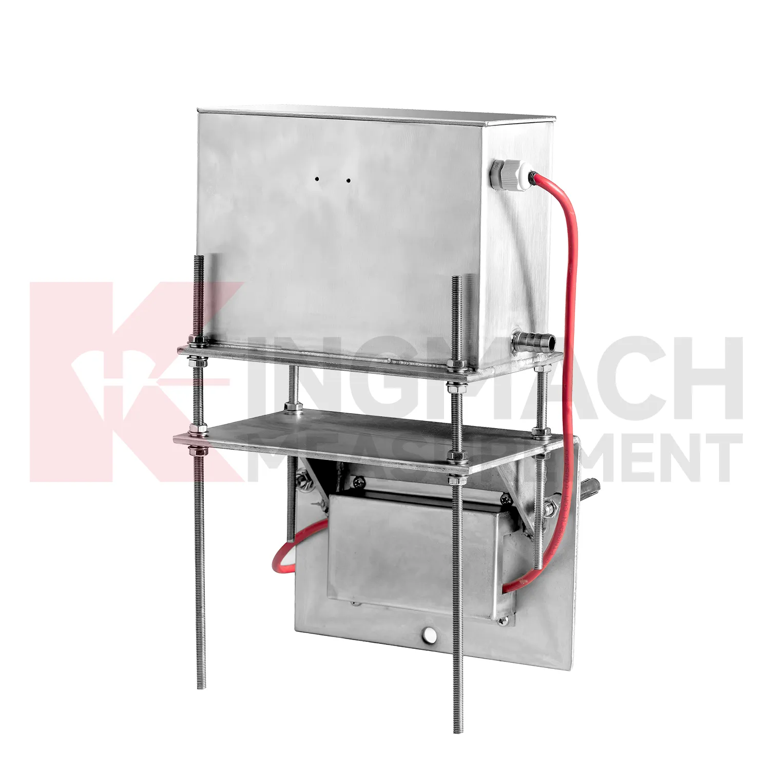
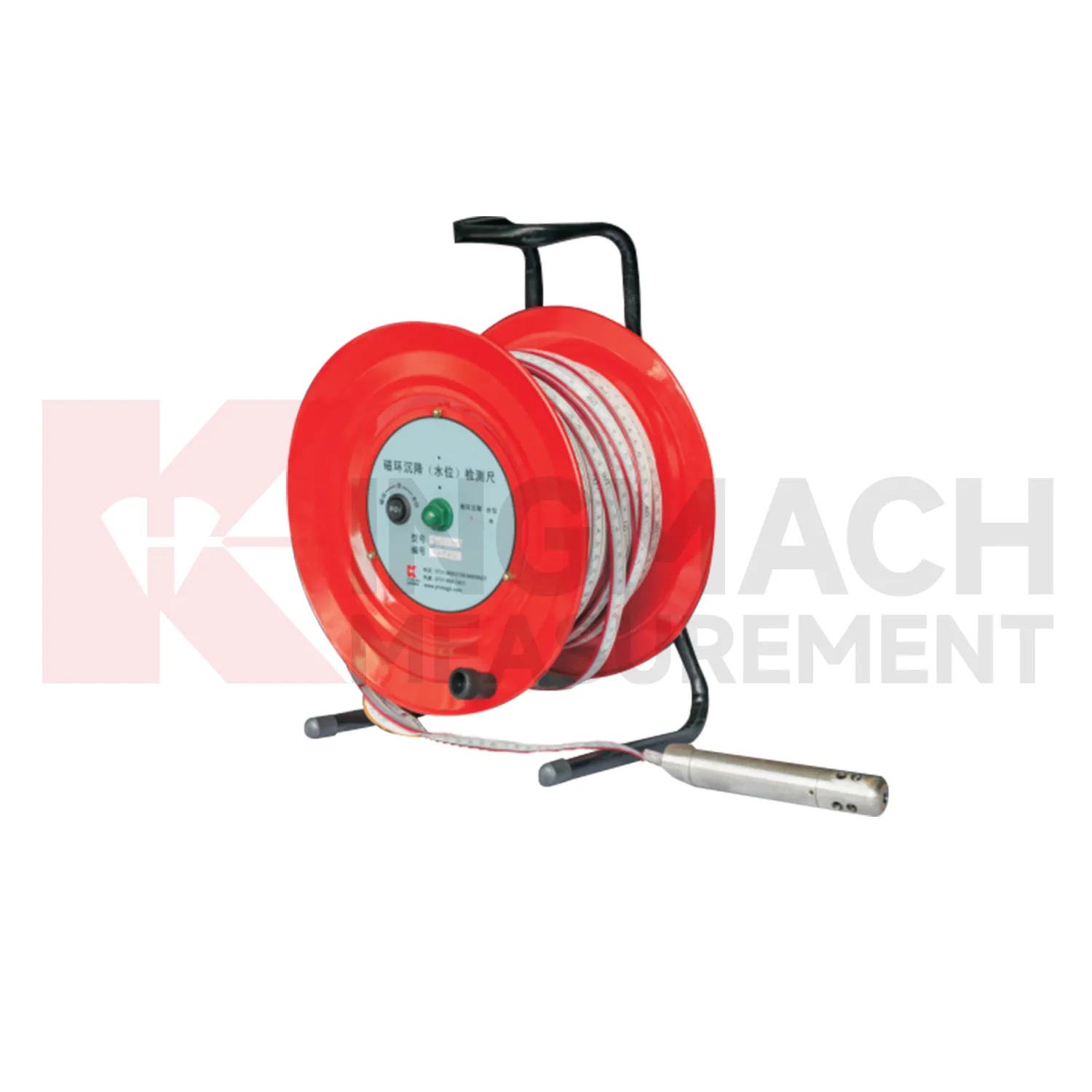
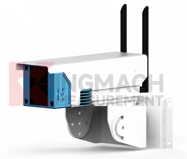
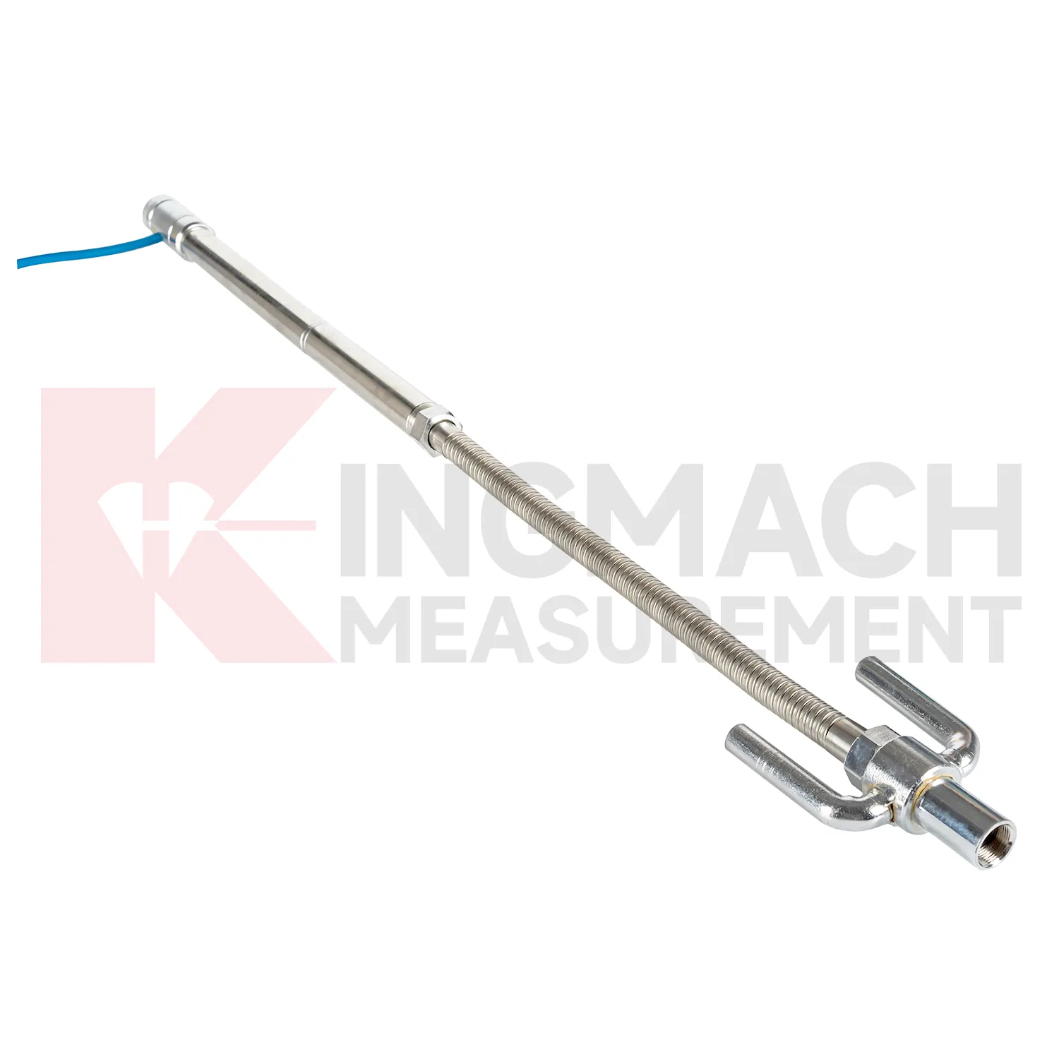
Data acquisition for Kingmach hydrostatic level sensor can be arranged as manual checking, remote digital collection, or a mixed program. JMDL-47XXAT can be read by comprehensive testers or connected to automatic acquisition for remote transmission. JMDL-62XXADT, JMQJ-62XXADT, and JMYC-62XXAD provide RS485 output, which helps when several hydrostatic channels need to be read from a cabinet or platform. JMCJ-1003/1005 remains a field-reading instrument for magnetic ring depth and groundwater level confirmation. The acquisition plan should define sampling interval, channel address, unit display, reference point, abnormal-data review, and power backup. Manual readings are still useful after storms, construction impacts, cabinet faults, or unexpected curve jumps because they can confirm whether the instrument, reference, or site condition has changed. Good data handling also needs versioned baseline records, clear point names, and visible maintenance notes. Without that discipline, a long settlement curve may look complete but still be hard to trust during engineering review.
Application of hydrostatic level sensor
In dam monitoring, hydrostatic level sensor are used for long-term observation of dam body settlement, gallery deformation, foundation movement, and vertical change near water-control structures. This work has a slow rhythm: reservoir level, seepage, rainfall, seasonal temperature, and consolidation history may all affect the curve. Kingmach JMQJ-62XXADT gives micro range hydrostatic measurement with IP68 protection and 0.01 mm resolution, while JMYC-62XXAD provides wider 500 mm to 4000 mm ranges for larger vertical displacement. JMDL-62XXADT can form a multi-point hydrostatic leveling network when several positions must be compared from one reference. A dam layout should treat the reference location, tube route, cabinet position, cable protection, and access path as part of the measurement system. During operation, engineers should review settlement data with reservoir records, seepage flow, piezometer behavior, inspection notes from galleries, and downstream observation results. The goal is to see whether a slow trend matches expected consolidation or whether it appears near a structural joint, foundation zone, or water level event. Good records make annual dam-safety review more traceable and reduce confusion when readings are checked years later.
The future of hydrostatic level sensor
The future of hydrostatic level sensor will also depend on better installation kits. Many settlement errors begin with field details: a tube is kinked, a plate is disturbed during compaction, a ring depth is recorded poorly, a cable exits at the wrong place, or a reference point is not protected. Future products can reduce these problems with clearer connectors, pre-labeled cables, stronger side-exit protection, better probe markings, and commissioning checklists. Kingmach JMDL-47XXAT already uses side-exit cable routing to avoid pavement compaction interference, and hydrostatic systems rely on clean tube installation. Better installation accessories will make the first baseline more trustworthy. In settlement monitoring, a clean start is often more useful than a later attempt to correct a poor record. The practical goal is to keep settlement data understandable after the original installation crew has left, so owners can compare old and new readings without reconstructing the field history from memory. The same record should remain readable for designers, contractors, owners, and maintenance teams, because settlement monitoring often continues long after the first construction report is finished.
Care & Maintenance of hydrostatic level sensor
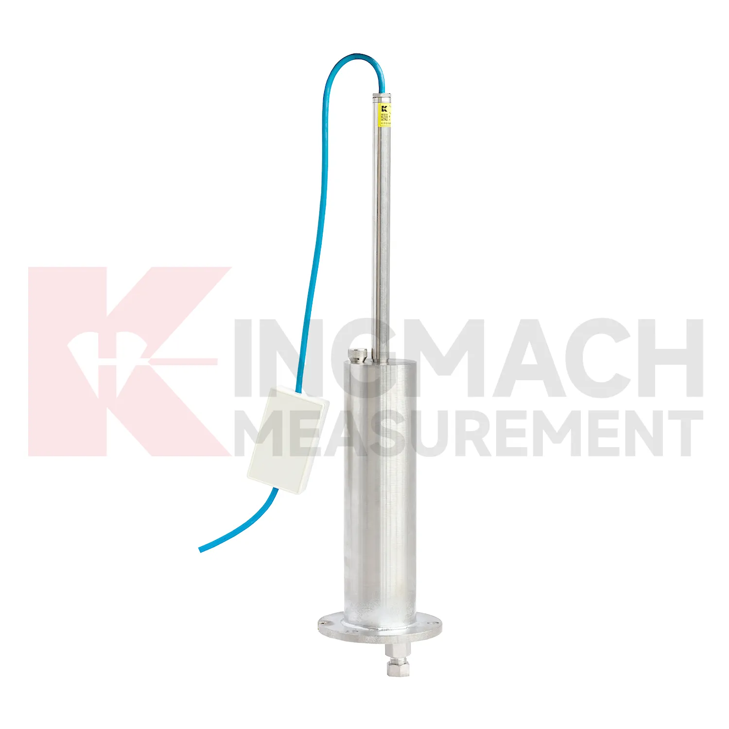
Manual-reading hydrostatic level sensor should follow a repeatable procedure every visit. Use the same reference mark, reading direction, tape handling method, waiting time, and data sheet format. This is especially important for magnetic ring settlement gauges and borehole water level readings, where inconsistent field practice can create false changes. Record operator, weather, groundwater condition, borehole obstruction, battery condition, and any unusual sound or visual indication from the alert system. Do not round readings differently from one visit to the next. If manual data is later entered into software, keep the original field notes available for checking. Manual monitoring can be reliable over many years when the process is simple, dated, and boringly consistent. The goal is repeatability, not speed.
Kingmach hydrostatic level sensor
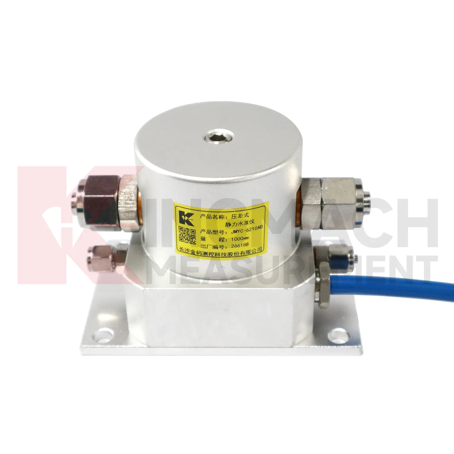
Wide-area settlement monitoring needs hydrostatic level sensor that can handle larger travel and uneven profiles. Kingmach JMYC-62XXAD wide-range differential pressure hydrostatic level sensors are designed for pavement settlement, cross-sectional nonlinear settlement, soft foundation treatment, land reclamation foundations, dam subgrades, slope stability, bridge deflection, and building settlement. The listed range extends from 500 mm to 4000 mm, with 0.1 mm resolution and 0.2%FS accuracy. This makes it different from micro range sensors used for smaller deflection changes. A long road or reclamation section should not be judged by one point only. The value comes from comparing a profile over time, then linking that profile with filling stage, surcharge timing, drainage records, groundwater, and site inspection notes. This is especially important when several instruments share one cabinet or when hydrostatic tubes, embedded rods, and manual borehole readings appear in the same project. This is especially important when several instruments share one cabinet or when hydrostatic tubes, embedded rods, and manual borehole readings appear in the same project.
FAQ
Q: What does JMDL-47XXAT measure?
A: It measures in-situ subgrade settlement, embankment heave, foundation pit base uplift, tunnel bottom uplift, dyke compression, and pile foundation settlement.
Q: What ranges are listed for JMDL-47XXAT?
A: The listed ranges are 100 mm, 200 mm, 300 mm, and 400 mm, with 0.01 mm resolution on the 100 and 200 mm models and 0.1 mm on larger models.
Q: How is the gauge installed?
A: It uses a settlement plate, electrical displacement sensor, measuring rod, metal flexible conduit, anchor head, extension rod, and bottom anchor head.
Q: Can traffic operation continue during monitoring?
A: The side-exit cable routing is designed to avoid interference with pavement compaction and can support monitoring during traffic operation when installed correctly.
Q: What should be recorded during installation?
A: Record plate position, anchor depth, extension length, cable route, baseline, model, range, and construction stage.
Reviews
Matthew Garcia
Instrumentation cables are durable and perform well even in harsh environments. Will definitely order again.
Christopher Martinez
Very satisfied with the readouts & data loggers. User-friendly interface and supports multiple sensor inputs.
Latest Inquiries
To protect the privacy of our buyers, only public service email domains like Gmail, Yahoo, and MSN will be displayed. Additionally, only a limited portion of the inquiry content will be shown.
Emma***@gmail.comCanada
Dear Sir/Madam, we are interested in displacement transducers and settlement sensors for a geotechni...
Evelyn***@gmail.comSouth Africa
Hi, we are a contractor working on tunnel construction and need settlement sensors and displacement ...