
 EN
EN
 ar
ar bg
bg hr
hr cs
cs da
da nl
nl fi
fi fr
fr de
de el
el hi
hi it
it ko
ko no
no pl
pl pt
pt ro
ro ru
ru es
es sv
sv tl
tl iw
iw id
id lv
lv lt
lt sr
sr sk
sk sl
sl uk
uk vi
vi et
et hu
hu th
th tr
tr fa
fa ms
ms hy
hy ka
ka ur
ur bn
bn mn
mn ta
ta kk
kk uz
uz ku
ku
Inclinometer-based Hydrostatic Leveling System
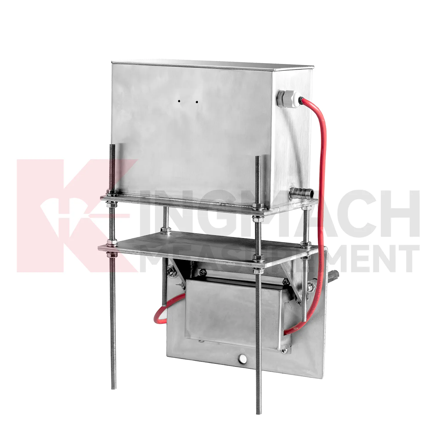
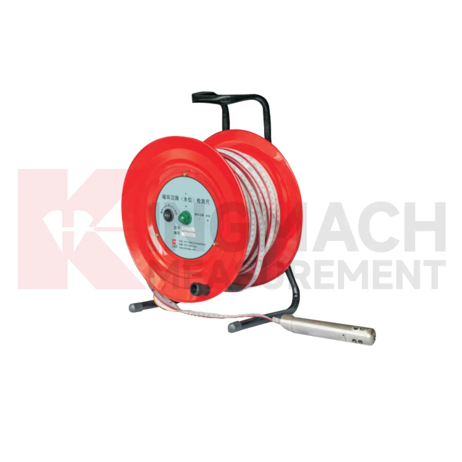
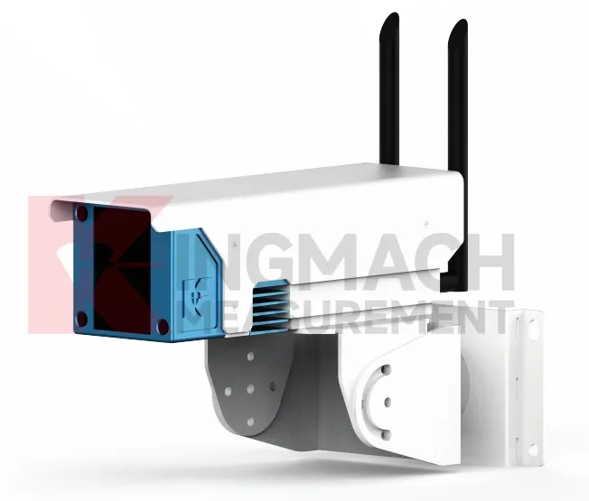
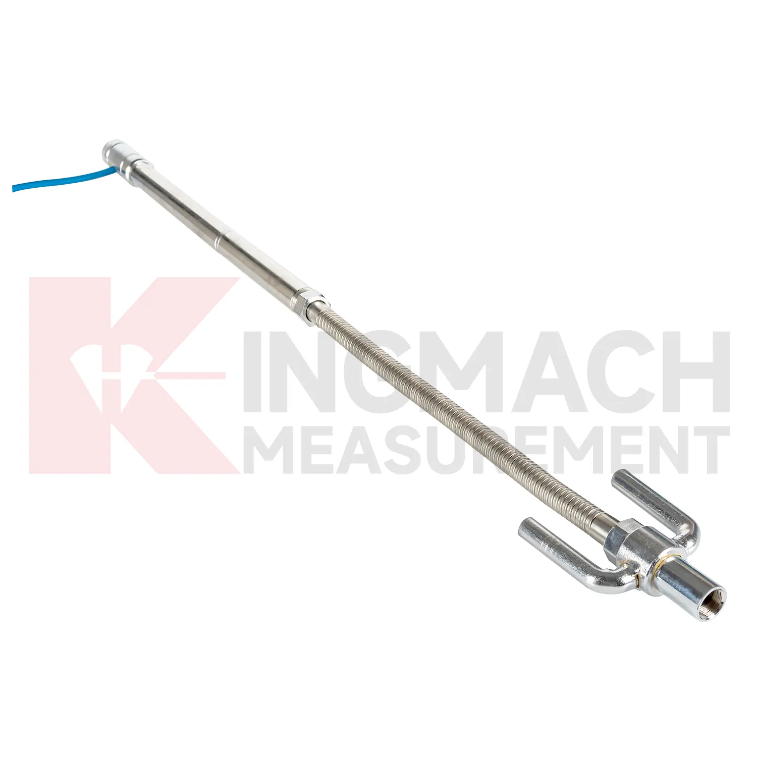
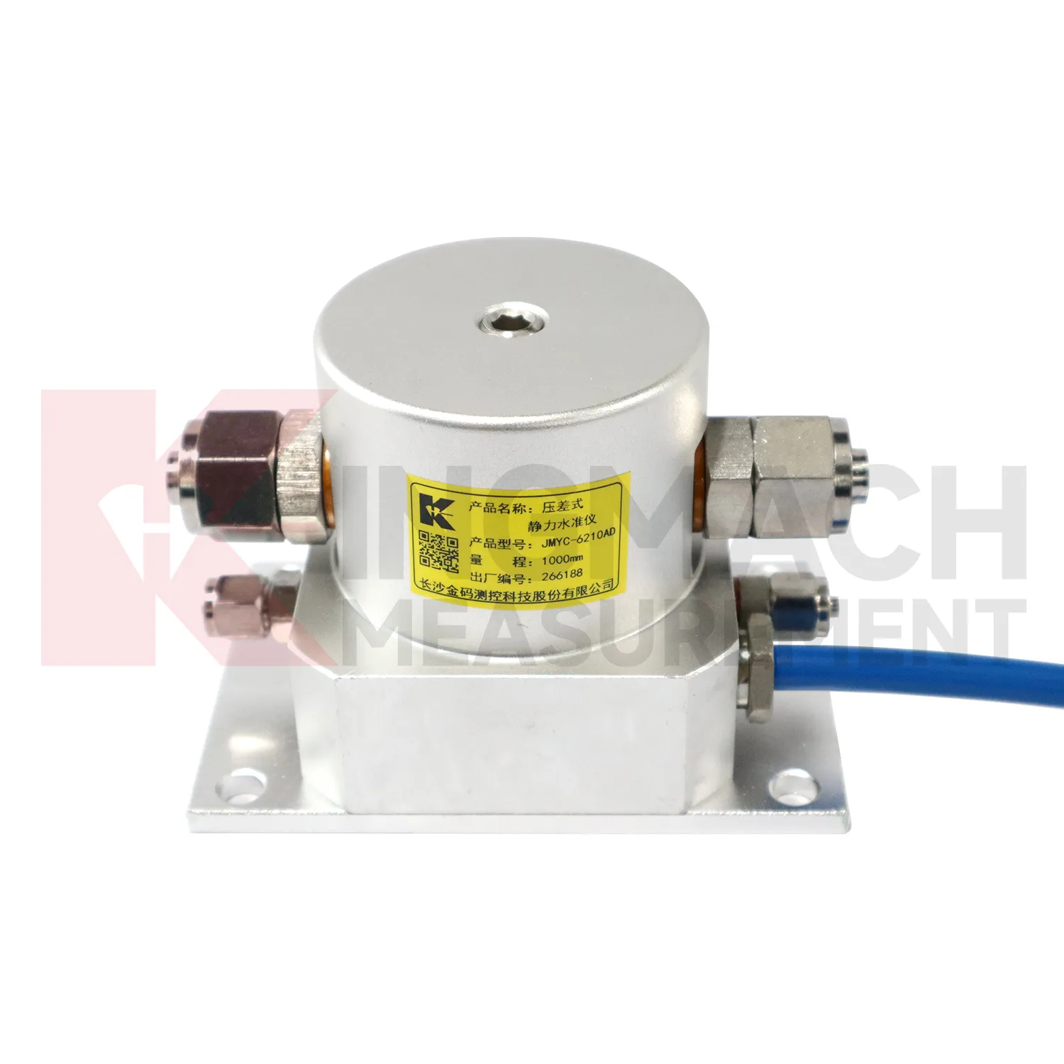
Kingmach Inclinometer-based Hydrostatic Leveling System cover several ways to measure vertical deformation on civil and geotechnical projects. The category includes the JMDL-47XXAT smart single-point settlement gauge, JMDL-62XXADT inductive frequency-modulated hydrostatic level sensor, JMQJ-62XXADT micro range hydrostatic level sensor, JMYC-62XXAD wide-range differential pressure hydrostatic level sensor, and JMCJ-1003/1005 magnetic ring settlement water level gauge. Each product answers a different field question. A buried single-point gauge follows one embedded location in a roadbed, foundation, dyke, or tunnel invert. A hydrostatic network compares several elevations through connected liquid lines. A wide-range differential pressure system handles larger movement during reclamation or soft foundation treatment. A magnetic ring gauge separates layered underground compression from groundwater level change. Selection should begin with expected travel, required resolution, manual or automatic reading mode, access after burial, reference stability, and the structure being observed. This product group gives engineers a practical set of instruments for turning slow ground movement into named measuring points, dated baselines, and repeatable readings.
Application of Inclinometer-based Hydrostatic Leveling System
In road and railway subgrade work, Inclinometer-based Hydrostatic Leveling System help track how fill, soft ground, and pile-net foundations behave after each construction stage. The risk is not only final settlement; engineers also need to know whether movement slows after compaction, continues after traffic loading, or restarts after rainfall. Kingmach JMDL-47XXAT can measure in-situ subgrade settlement and embankment heave with 100 mm, 200 mm, 300 mm, and 400 mm ranges. For longer pavement profiles, JMYC-62XXAD wide-range differential pressure hydrostatic sensors can compare several points against a reference, with 500 mm to 4000 mm ranges and 0.1 mm resolution. A practical subgrade monitoring plan records fill height, compaction stage, traffic opening date, groundwater condition, and nearby deformation readings. This helps maintenance teams decide whether the roadbed is consolidating normally or needs inspection before track or pavement defects appear. The monitoring team should keep point location, reference condition, construction timing, groundwater or water level notes, and nearby sensor behavior in one review file so the settlement curve can be interpreted without guesswork during later maintenance. The monitoring team should keep point location, reference condition, construction timing, groundwater or water level notes, and nearby sensor behavior in one review file so the settlement curve can be interpreted without guesswork during later maintenance.
The future of Inclinometer-based Hydrostatic Leveling System
The future of Inclinometer-based Hydrostatic Leveling System will include cleaner digital handover records. Settlement monitoring often lasts longer than the construction team stays on site, so owners need more than a table of values. A useful handover file should include model, serial number, range, reference point, tube route, ring depth, baseline, installation photo, cable tag, borehole number, and first stable reading. Kingmach products such as JMDL-47XXAT and JMCJ-1003/1005 especially benefit from this because embedded rods, magnetic rings, anchors, and borehole readings may be hard to inspect later. When that information is stored with the curve, maintenance teams can understand why a point was installed and how its settlement should be interpreted years later. Future records should make the instrument history as visible as the measurement itself, so old readings can still be trusted after staff changes, repairs, and new construction stages.
Care & Maintenance of Inclinometer-based Hydrostatic Leveling System
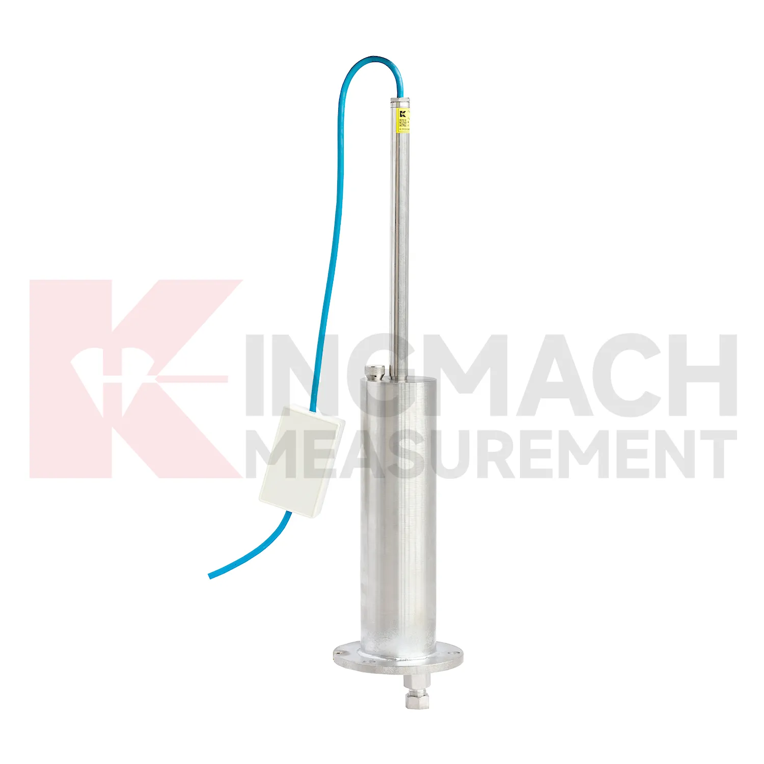
Magnetic ring Inclinometer-based Hydrostatic Leveling System need consistent field habits. For JMCJ-1003/1005, record borehole number, ring depth, water level depth, tape mark, operator, date, battery status, and previous reading each time. The magnetic ring function relies on electromagnetic induction and audible or visual indication, while water level detection responds when the probe contacts water. Different operators should use the same borehole orifice reference mark and the same tape handling method. After field work, clean the probe, dry the reel, inspect the tape cable, check the battery, and note any weak alarm or rough movement in the borehole. Layered settlement data depends on repeated depth reading discipline. A small careless change in reference mark can look like soil compression, so field notes should be plain, dated, and easy to audit.
Kingmach Inclinometer-based Hydrostatic Leveling System
In underground works, Inclinometer-based Hydrostatic Leveling System help separate vertical movement from the noise of excavation, support installation, groundwater, and nearby traffic. Tunnel bottom uplift, subway station settlement, foundation pit base heave, and adjacent ground movement can all affect construction safety. Kingmach JMDL-47XXAT is described for tunnel bottom uplift and base uplift in deep foundation pits, while hydrostatic products can compare several elevations across a station or tunnel section. The monitoring plan should define which reading triggers inspection, who receives the alert, and what nearby data should be checked. Settlement should be reviewed with displacement, support force, water level, tilt, and visual inspection. That wider view keeps a single curve from being overread or ignored. For critical infrastructure, the settlement point should be part of a wider review with displacement, tilt, strain, load, rainfall, and groundwater information. For critical infrastructure, the settlement point should be part of a wider review with displacement, tilt, strain, load, rainfall, and groundwater information.
FAQ
Q: How should Inclinometer-based Hydrostatic Leveling System be maintained?
A: Check reference points, tubes, cables, seals, settlement plates, anchors, probes, cabinets, and channel names at planned intervals.
Q: Should zero values be reset casually?
A: No. A reset can hide real settlement. If a reset is necessary, record the reason, time, old baseline, and new baseline.
Q: What data should be reviewed with settlement?
A: Rainfall, groundwater, excavation depth, filling stage, traffic loading, tilt, displacement, strain, and load data can all help explain settlement changes.
Q: What signs suggest a data issue?
A: Flat lines, sudden jumps after maintenance, impossible values, repeated communication gaps, or disagreement with nearby points may indicate instrument or data-chain problems.
Q: What makes a settlement report useful?
A: A useful report includes point location, model, range, baseline, reference point, latest reading, cumulative settlement, rate of change, and field notes.
Reviews
Michael Anderson
The strain gauges and load cells are extremely accurate and stable. They performed very well in our bridge monitoring project. Highly recommended!
Ryan Lewis
Fast delivery and excellent product quality. The accelerometers and tiltmeters are highly reliable. Strongly recommend this company.
Latest Inquiries
To protect the privacy of our buyers, only public service email domains like Gmail, Yahoo, and MSN will be displayed. Additionally, only a limited portion of the inquiry content will be shown.
Amelia***@gmail.comSingapore
Hello, I am looking for visualization software for monitoring system data analysis. Please let me kn...
Ava***@gmail.comAustralia
Hi, I am looking for reliable tiltmeters and accelerometers for structural health monitoring. Please...