
 EN
EN
 ar
ar bg
bg hr
hr cs
cs da
da nl
nl fi
fi fr
fr de
de el
el hi
hi it
it ko
ko no
no pl
pl pt
pt ro
ro ru
ru es
es sv
sv tl
tl iw
iw id
id lv
lv lt
lt sr
sr sk
sk sl
sl uk
uk vi
vi et
et hu
hu th
th tr
tr fa
fa ms
ms hy
hy ka
ka ur
ur bn
bn mn
mn ta
ta kk
kk uz
uz ku
ku
GNSS
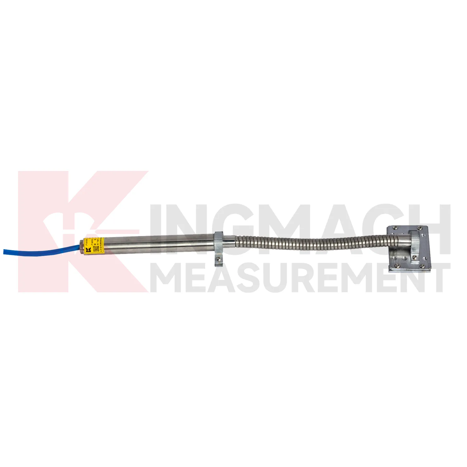
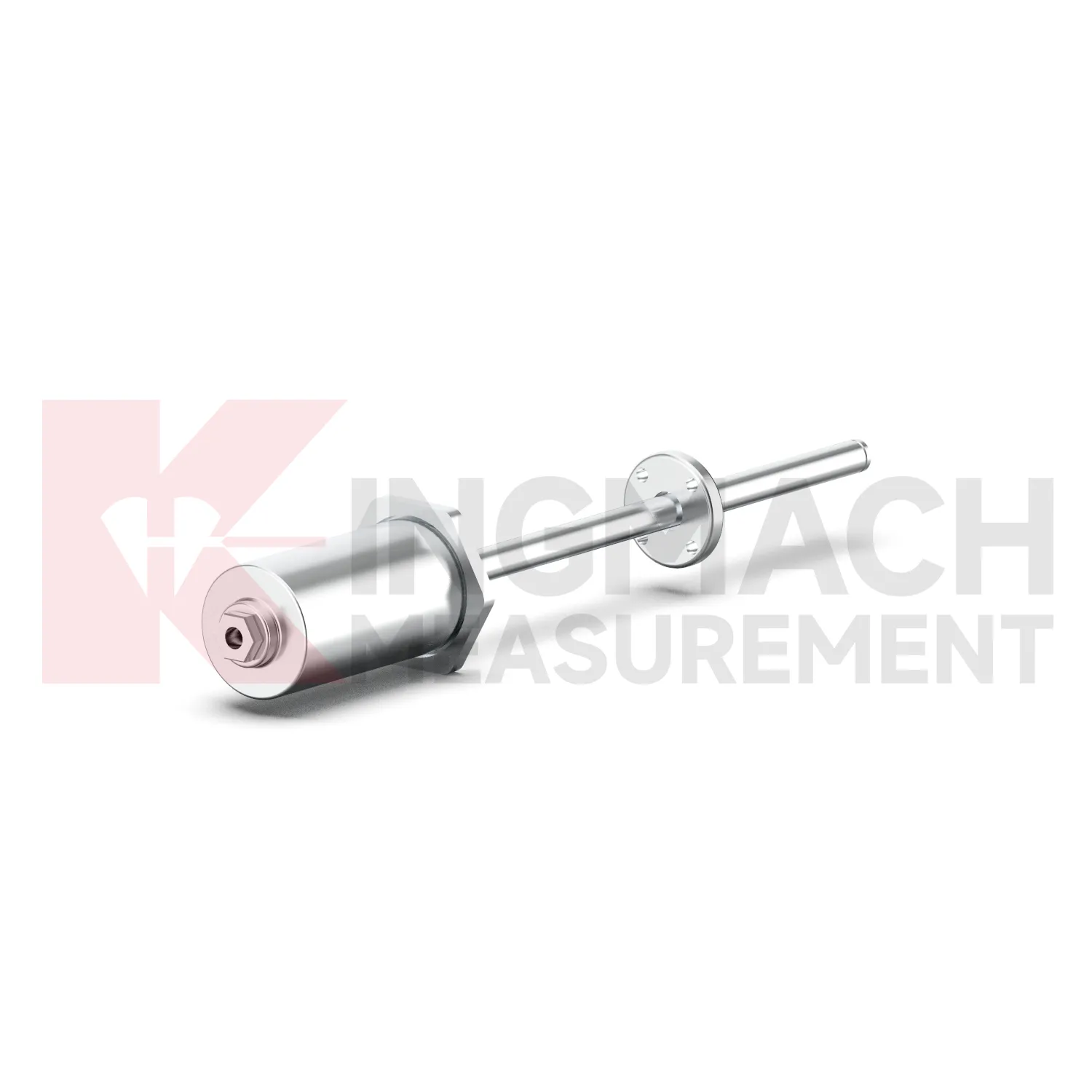
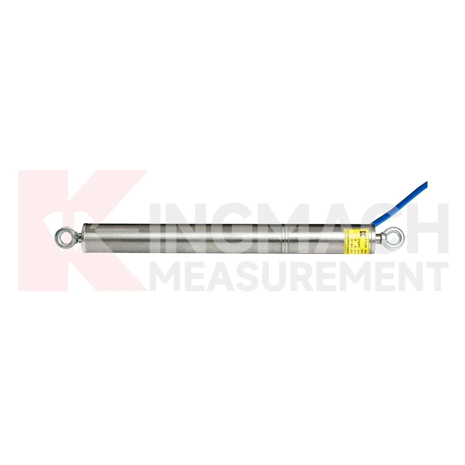
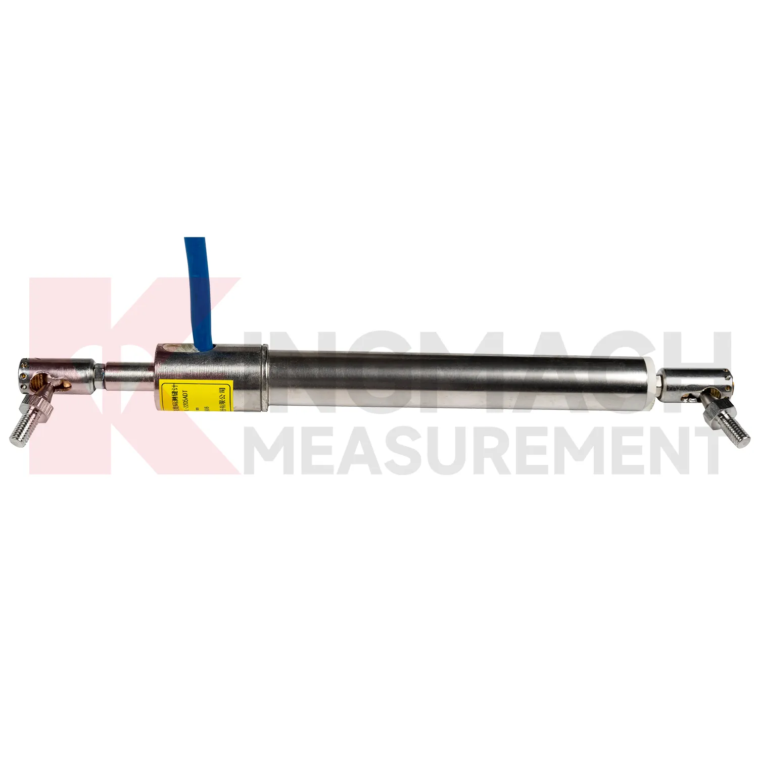
The JMLS-22XXADT Wire Rope Displacement Sensor broadens Kingmach GNSS into long-travel and flexible-path displacement measurement. It uses a retractable plastic-coated stainless steel cable wound around a spool and a precision rotary sensor. When the cable extends or retracts, resistance changes are converted into displacement data. Listed ranges include 0 to 500 mm, 0 to 1000 mm, and 0 to 2000 mm. Product information gives 0.1 mm resolution, 0.2%FS accuracy, DC 9V to 24V operating voltage, power consumption at or below 0.3 W, RS485 communication at 2400 bps, IP67 sealing, operating temperature from -30 degrees Celsius to +70 degrees Celsius, dimensions of 115 mm by 85 mm by 100 mm, and approximately 1 kg weight. The product supports linear and curved displacement monitoring, making it useful for dam monitoring, geohazard prevention, tunnel clearance, machinery position, soil and rock movement, and long-distance movement between two points. During project setup, the measuring point should be matched with the expected travel direction, available mounting space, cable route, and required acquisition interval. This prevents a short-range joint instrument from being used on a long-travel point, or an exposed sensor from being placed where an embedded anchor is needed. It also helps the monitoring team set a baseline that can be defended during acceptance and later maintenance review.
Application of GNSS
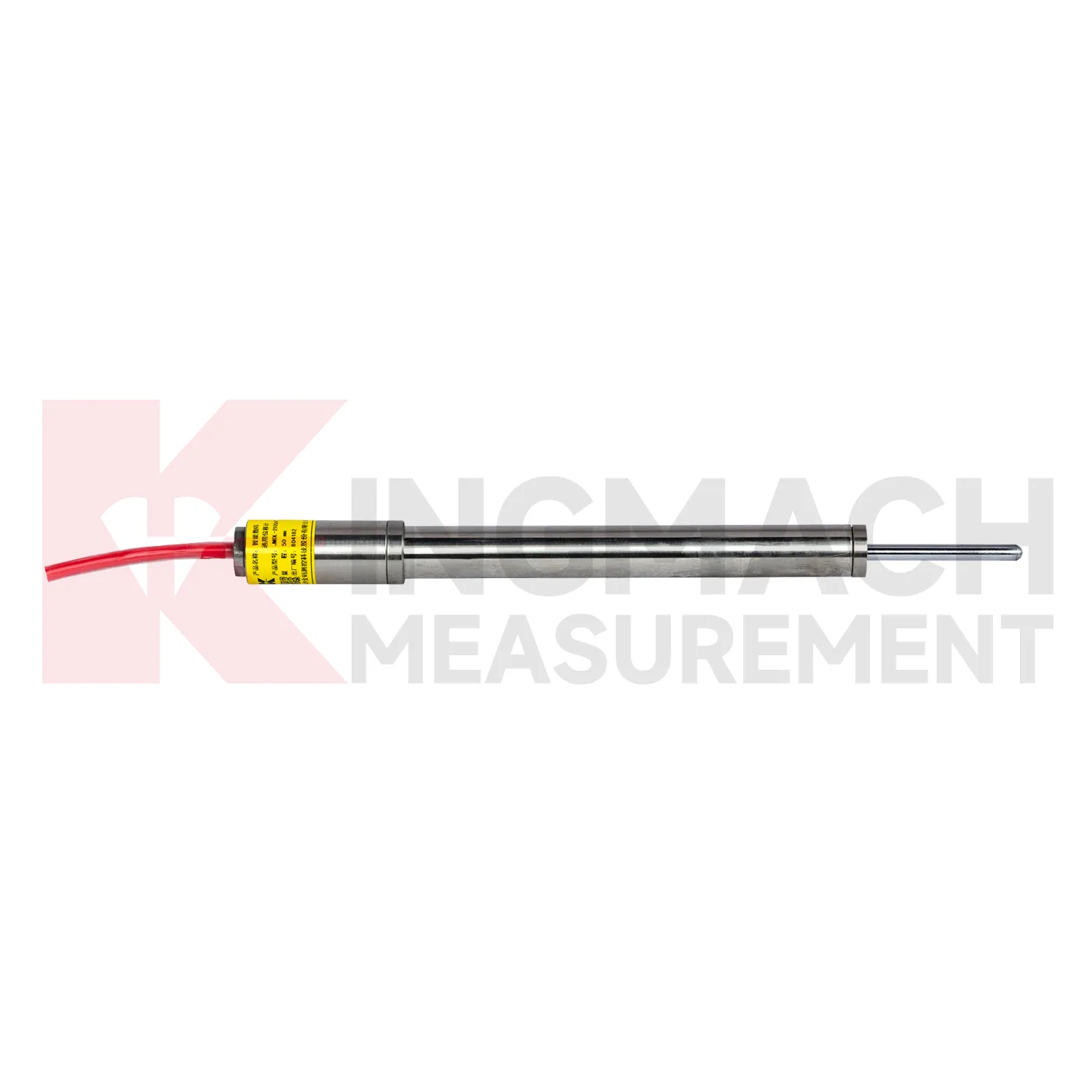
In slope and landslide monitoring, GNSS are used to detect surface creep, deep sliding, retaining wall movement, crack expansion, and displacement between fixed reference points. The challenge is that slope movement may be slow for weeks and then accelerate after rainfall, excavation, blasting, or traffic vibration. Kingmach JMDL-31XXAT multipoint meters can anchor several depths and separate shallow movement from deeper rock layer displacement. JMDL-32XXAT bedrock meters provide single-point embedded measurement with 50 mm, 100 mm, and 200 mm ranges, 0.01 mm resolution, 0.5%FS accuracy, and -30 degrees Celsius to +80 degrees Celsius operating temperature. JMLS-22XXADT wire rope sensors support 500 mm to 2000 mm movement paths with IP67 sealing. When these readings are reviewed with rainfall, pore pressure, tilt, and GNSS data, engineers can identify whether the slope is stable, creeping, or moving toward a warning threshold. During operation, the monitoring team should keep the baseline, temperature, inspection notes, and nearby sensor behavior in the same review file. This makes it easier to tell whether a movement trend comes from normal service, a repair event, changing load, water influence, or developing structural risk. Clear records also help owners decide when a field inspection is needed instead of waiting for visible damage.
The future of GNSS
Longer service life will be a major future requirement for GNSS. Infrastructure owners want monitoring systems that remain useful beyond the construction phase and into operation, inspection, repair, and renewal. Kingmach lists 30-year designed service life on selected products such as the JMDL-24XXAT flexible displacement meter and JMDL-49XXAT formwork displacement meter, while models such as JMCW-21XXADT use non-contact sensing to avoid mechanical wear. Future specifications will likely ask more directly about waterproof rating, connector durability, cable route protection, sensor replacement access, and data continuity after maintenance. For dams, bridges, railways, slopes, and tunnels, a displacement record over several years is often more useful than a short burst of high-frequency data. This long view supports asset management and helps distinguish slow structural change from normal seasonal movement. The next improvement will be planned service records: expected inspection intervals, spare part notes, replacement dates, and clear links between old and new baselines after a sensor is changed.
Care & Maintenance of GNSS
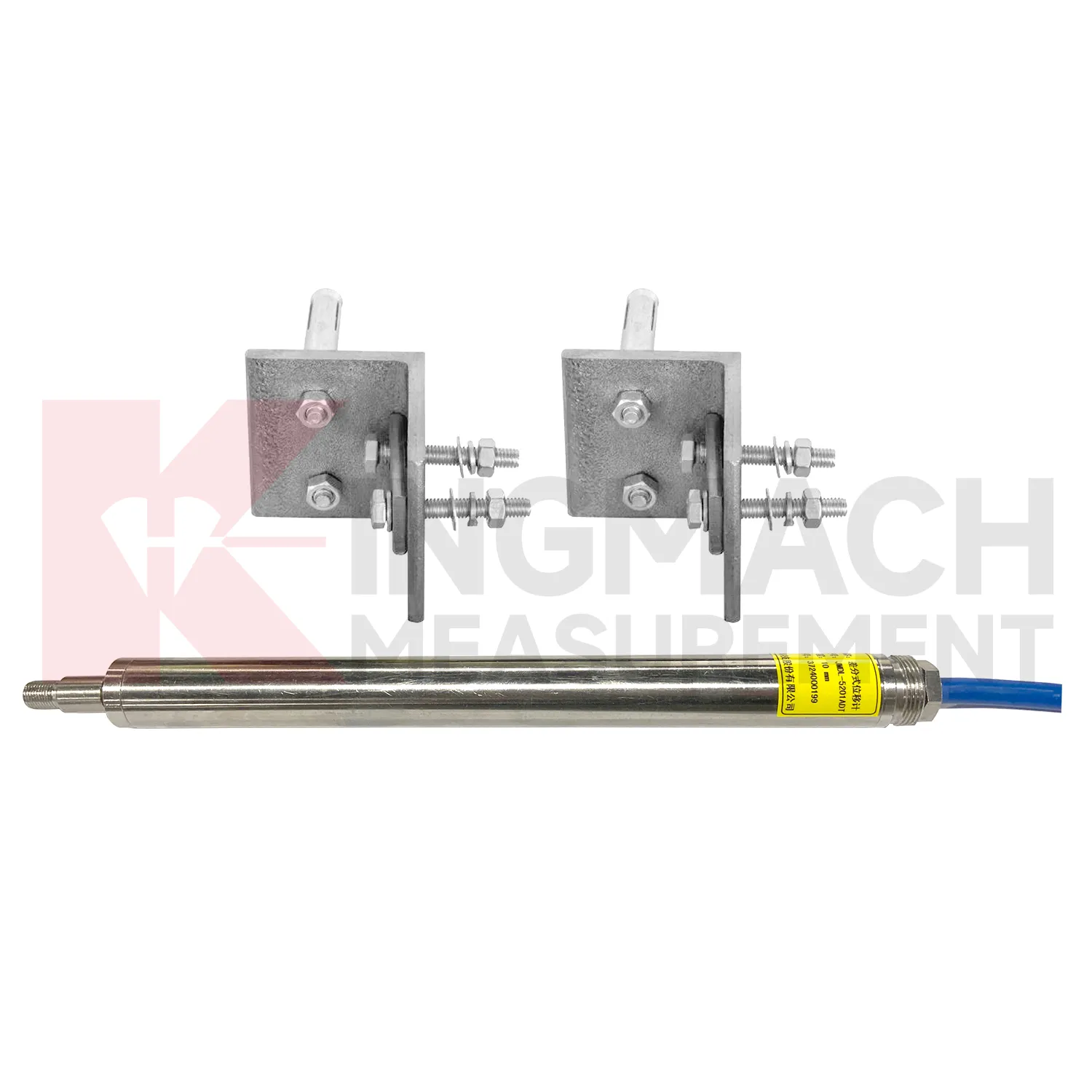
For flexible geogrid GNSS, installation care is more important than later access because the product may be buried inside reinforced soil. Kingmach JMDL-24XXAT uses a bendable measuring rod, 30 mm and 50 mm ranges, 0.01 mm sensitivity, 0.5%FS accuracy, 20-point curve fitting, and a designed service life up to 30 years. Both ends of the geogrid should be clamped with the flexible sensor sections using mounting brackets so deformation transfers reliably. Avoid sharp bending, cable tension, bracket slippage, and damage during filling or compaction. Record the geogrid layer, chainage, depth, sensor direction, zero value, and backfill date. During operation, compare displacement with settlement and rainfall records. If the trend changes after heavy rain, traffic loading, or nearby excavation, inspect accessible cabinets and cables before deciding whether the buried geogrid movement itself has changed. Keep the installation photo, point number, zero value, and expected movement direction with the commissioning record for later review. If a reading changes after maintenance work, inspect the base, anchor, cable, and cabinet before assuming the structure itself has moved.
Kingmach GNSS
GNSS are often the quiet part of a monitoring system, but they decide whether deformation is understood as a trend or discovered as damage. Kingmach displacement products can be placed at expansion joints, cracks, foundation pits, slope faces, tunnel surrounding rock, dam bedrock, railway subgrades, high-formwork supports, and equipment stroke positions. Many models support digital transmission, anti-interference performance, waterproof sealing, and connection to automatic acquisition systems. The JMDL-21XXAT general-purpose meter records relative displacement and expansion joint movement with 50 mm or 100 mm ranges and 0.01 mm resolution. The JMDL-31XXAT multipoint meter can be installed by drilling and grouting, with anchor heads at different depths. When readings are reviewed with settlement, tilt, rainfall, pore pressure, or construction logs, engineers can see whether movement is seasonal, load-related, excavation-driven, or moving toward a control limit. The point should be named on the drawing, linked with its cable route, and checked against the expected movement direction before the first automatic reading is accepted. For daily review, the reading should be compared with nearby points, recent weather, site operations, and any loading event that could explain the movement.
FAQ
Q: Which GNSS are used for rock layers or bedrock?
A: JMDL-31XXAT multipoint meters are used for different surrounding rock layers, while JMDL-32XXAT single-point bedrock meters are used for tunnel rock mass, dam bedrock, slope, or foundation pit movement.
Q: How many points can the multipoint meter support?
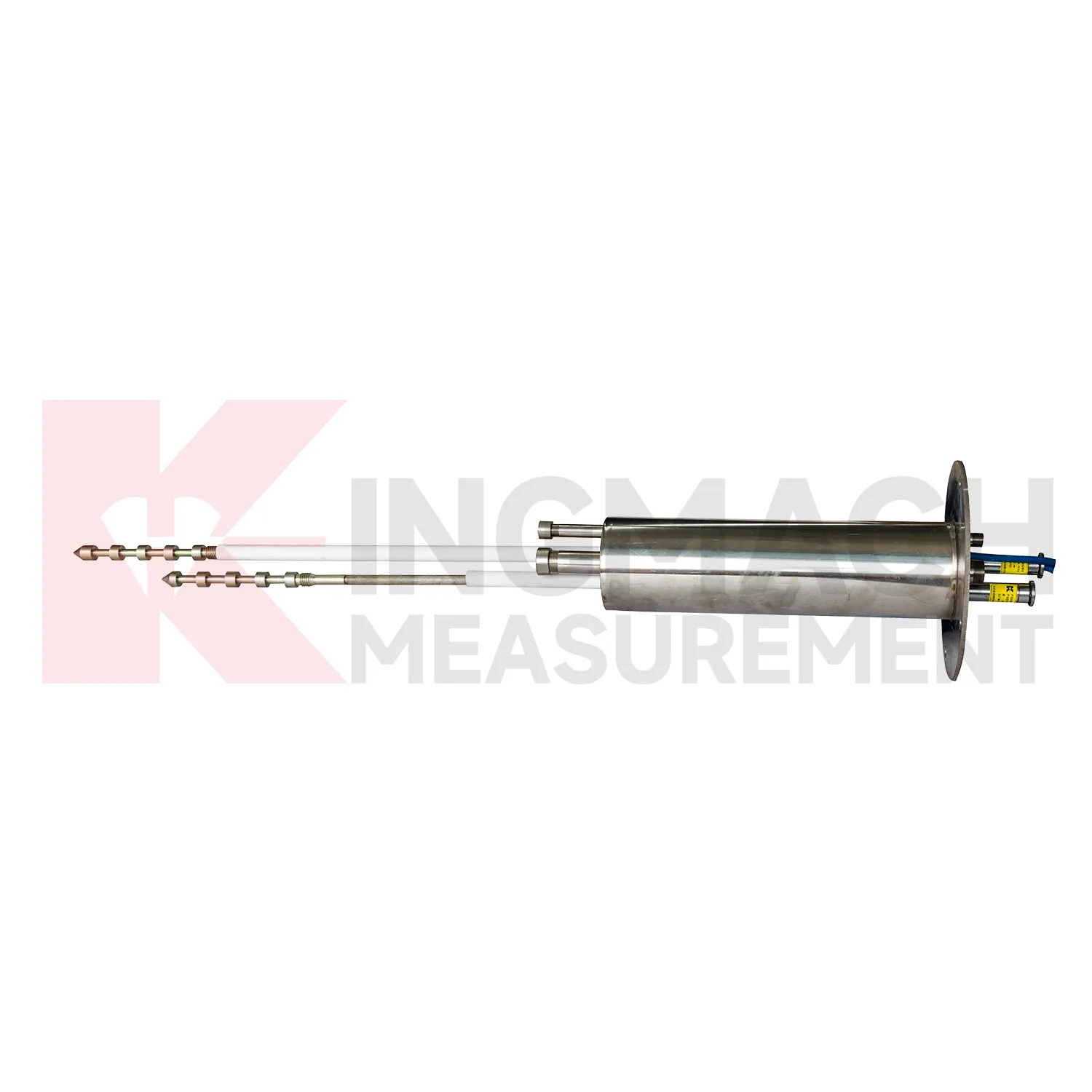
A: The multipoint installation kit supports three to five monitoring points, with anchor heads fixed at different depths by drilling and grouting.
Q: What ranges are listed for these models?
A: Both JMDL-31XXAT and JMDL-32XXAT list 50 mm, 100 mm, and 200 mm models with 0.01 mm resolution.
Q: Why monitor several depths?
A: Different layers may move differently. Separating shallow and deep movement helps engineers judge whether the problem is surface creep, deeper rock slip, or overall mass movement.
Q: What records should be kept?
A: Keep drilling depth, anchor location, grouting date, channel name, zero value, cable route, and first stable reading.
Reviews
Andrew Lee
The visualization software is intuitive and powerful. It helps us analyze monitoring data efficiently.
David Wilson
We purchased displacement transducers and settlement sensors, and the quality exceeded our expectations. Easy installation and reliable performance.
Latest Inquiries
To protect the privacy of our buyers, only public service email domains like Gmail, Yahoo, and MSN will be displayed. Additionally, only a limited portion of the inquiry content will be shown.
Mia***@gmail.comNetherlands
Dear team, we are interested in your readouts & data loggers compatible with multiple sensors. Do yo...
Emma***@gmail.comCanada
Dear Sir/Madam, we are interested in displacement transducers and settlement sensors for a geotechni...
Related product categories
- crack monitoring gauges
- displacement crack gauge
- displacement sensor
- laser displacement sensor
- displacement sensors
- linear displacement sensor
- optical displacement sensor
- wireless displacement sensor
- laser displacement sensors
- non contact displacement sensor
- cable displacement sensor
- draw wire displacement sensor